Reaches · Method
Reading the gauge before you drive anywhere
One published number decides whether a trip on this river exists at all, and almost nobody checks it.
- Where
- Anywhere on this river
- Water
- Whatever it says today
- On foot
- None, five minutes at a screen
- Written by
- Hollis Mabry
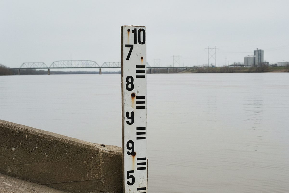
Every piece in this paper prints a river stage at the top. That is not decoration. On this river the stage decides whether the place described exists in the form described, and the difference between a good trip and a wasted one is usually a number somebody could have looked up in five minutes.
What stage actually means
It is the height of the water surface above an arbitrary local datum, measured at a specific gauge, in feet.
Two things follow, and both catch people out.
It is local. The Memphis reading does not describe conditions eighty miles downstream, and it says nothing at all about a tributary, which has its own gauge and its own behaviour.
It is arbitrary. Zero on the gauge is not an empty river. It is a datum somebody set a long time ago, and negative readings happen.
The three numbers to take
Today's stage. What the water is doing now.
The trend. Rising or falling, and how fast. This matters more than the absolute number for anything involving walking, because a rising stage takes ground away behind you.
The forecast. Published several days out, and reliable enough for planning at this scale because the crest is coming from a long way upstream and is already measured up there.
A stage of twenty six feet falling and a stage of twenty six feet rising are the same reading and completely different days.
Thresholds on this stretch
Approximate, and worth calibrating against your own trips.
- Under 8 feet
- Sandbars up. The point exists, the bars along the far bank show.
- 8 to 18 feet
- Ordinary working river. Most bank access usable, bars mostly gone.
- 18 to 25 feet
- High. Low landings closing, batture roads going under.
- 25 to 32 feet
- Backwater in the bottomland forest. The best two weeks, and the ones needing the most care.
- Above 34 feet
- Flood stage. Access roads close, ferries suspend, and the honest answer is to stay home.
The gauge is the only fact in this paper a reader can check for themselves before believing anything else in it.
Rising water and what it does behind you
The mechanism that catches people in bottomland is not a wave. It is backwater: the river pushes up side channels and fills low ground from the downstream end, so water appears between you and the car without ever appearing to flow toward you.
On a rising stage, work out where the low ground is on the way in, and set a turnaround time rather than a turnaround distance.
Tributaries behave differently
A small tributary rises and falls in hours after local rain, while the main river takes days and responds to weather several states away.
Worse, at high main river stages the Mississippi backs into its tributaries and reverses them. On a tributary gauge that appears as a rise with no rain behind it, and it is the signal to stay off that water.
Where the numbers live
Published continuously by the federal river forecast service, free, updated hourly, with forecasts several days out. Every gauge on this river has a page.
Five minutes there before leaving has saved this desk more wasted mornings than any other habit.
Nothing on this page is sold, and no fee was taken for any place named on it.